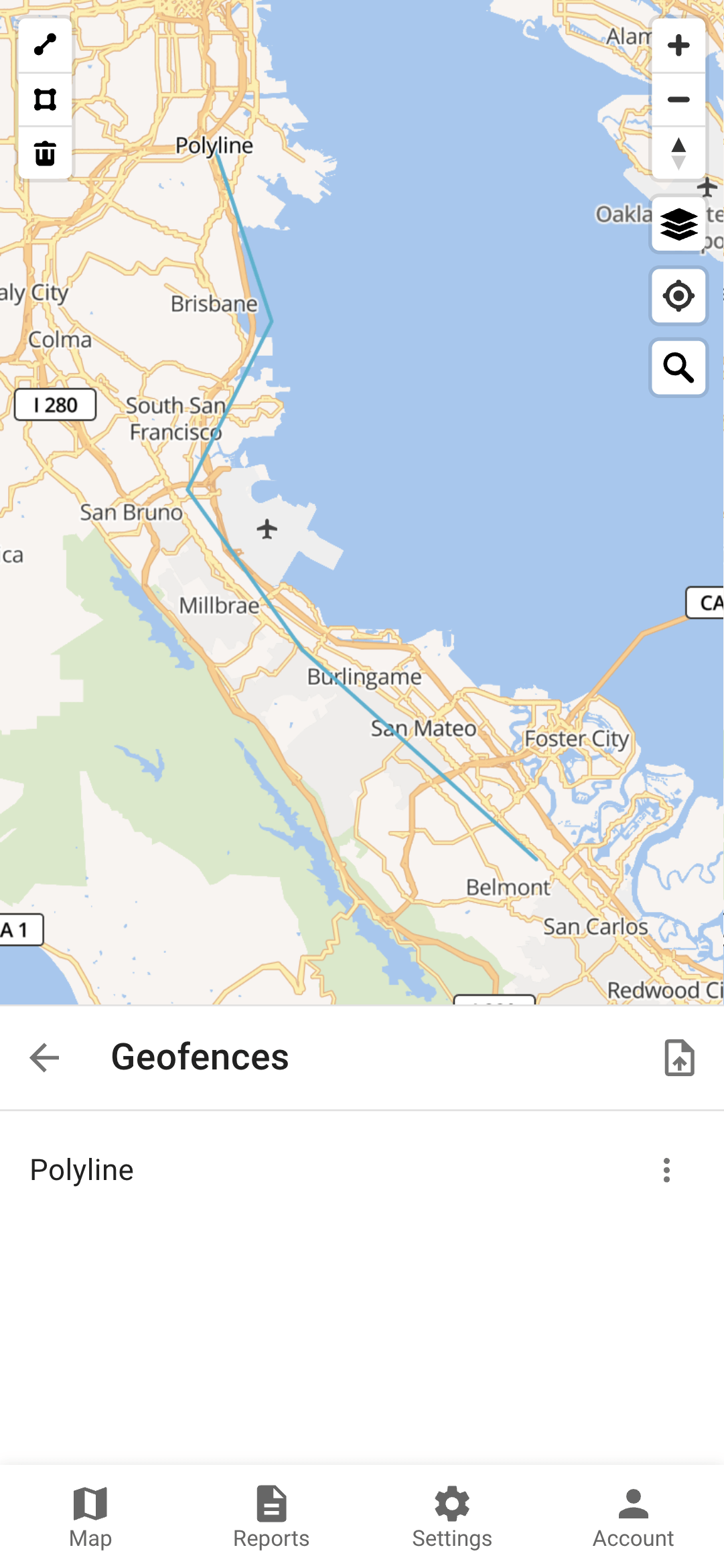
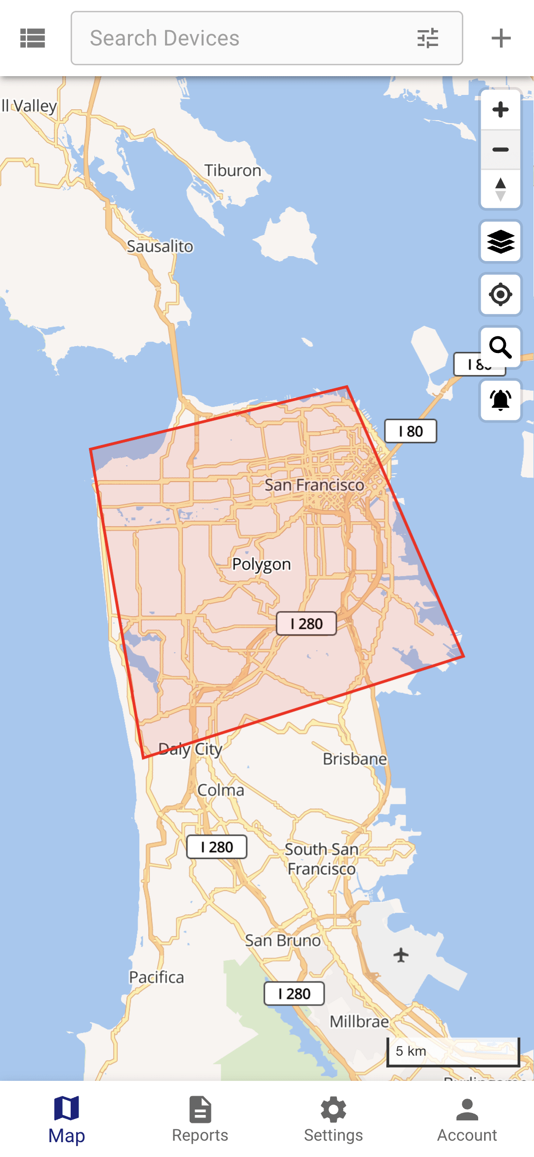
Geofences are geographical zones used to track device movement. The platform generates an event when BikeTrax enters or exits these zones.
1. Creation
| |
| |
| |
| |
| |
|
You can create multiple geofences and assign it to multiple trackers.
2. Assignment
In order to trigger an event (get an alarm) when a the geofence is entered or exited, you have to assign the BikeTrax to the geofence:
| |
|
You will receive a push message via the app when a tracker enters / exits a geofence
Geometry
There are three supperted geometry types:
Circle
Polygon
Polyline
The distance around a polyline geofence where BikeTrax is considered "inside the geofence" is set to 25 meters.
Get Inside/Outside Status
The geofenceIds array in the device object contains the IDs of the geofences the BikeTrax is surrounded currently. In this example its part of the geofence with ID 143103:
{
    "id": 231560,
    "attributes": {
        "B2B": true,
        "guarded": false,
        "alarm": false,
        "lastAlarm": 1662564152394,
        "guardType": "movement",
        "fwVersion": "LK_CAR_TQ2020/10/14 11:12"
    },
    "groupId": 0,
    "name": "t49 - staging",
    "uniqueId": "4710250149",
    "status": "offline",
    "lastUpdate": "2023-03-24T16:12:51.000+00:00",
    "positionId": 2167102178,
    "geofenceIds": [143103],
    "phone": "",
    "model": "",
    "contact": "",
    "category": null,
    "disabled": false
}
Permissions
The geofences relationships with other objects is very flexible:
Linked to a device: server will monitor device entering and exiting that geofence.
Linked to a group: server will monitor all devices in that group entering and exiting the geofence.
If a user has access to a geofence, it means that the user can edit/remove the geofence and can subscribe to the geofence events.
Calendars
Calendars can be linked to geofences. This will limit events generation to the calendar schedule.
Tips and Tricks
Color of a geofence on the map can be set in the geofence attribute color. Any valid HTML colors are accepted.
If you need to control the BikeTrax movement along a pre-defined route, you can use a polyline geofence. Also, if you need to control when BikeTrax started and ended the route, you can add additional geofences at the source and at the destination.


